APRIL Directs AHL to Rehabilitate Affected Area of 39 Hectares
Hatfield Indonesia (Hatfield) was appointed by APRIL Group to monitor our compliance with 15 May 2015 Mixed Hardwood (MHW) moratorium commitment. In its initial report, Hatfield recommended further detailed analysis of 7 compartments comprising 151 hectares inside PT Adindo Hutani Lestari (AHL) concession area using RapidEye imagery.
The final analysis (see full report) has now been completed. Due to atmospheric and cloud conditions, the RapidEye imagery for May 2015 was unable to support an accurate baseline analysis for the 7 compartments. Hatfield then consulted with APRIL’s stakeholders who agreed to use the best available data, mainly from Landsat 7 and Sentinel-1 Radar imagery, to conduct simple visual interpretation for land cover change analysis.
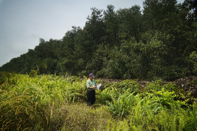
Hatfield identified approximately 39 hectares with visible land cover change. Based on this finding, APRIL directs the supplier AHL to rehabilitate the affected area.
A further result of this process, which has involved extensive satellite mapping analysis supported by on-the-ground verification and liaison and discussion with stakeholders, has been the establishment of a firm baseline and methodology for ongoing monitoring.
The monitoring of SFMP 2.0 implementation will continue and will be publically reported. We welcome stakeholder’s ongoing input and collaboration in this process as we continue to refine the methodology and implementation to achieve the best possible accuracy.


