Previewing The International Peat Congress 2016
By: Anthony Greer PhD, Head Peatland Management
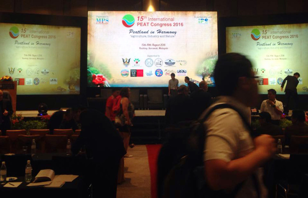
15th International Peat Congress
As APRIL Group’s scientists joins the global scientific community at the 15th International Peat Congress (IPC) in Kuching, Sarawak, Malaysia this week, we take the opportunity to highlight an earlier post discussing our continuous improvement approach to responsible peatland management and provide a preview of our contribution to this year’s Congress.
Our team will deliver several presentations discussing a broad range of aspects of peatland management, from conservation and restoration through to hydrology methods and fire prevention strategies. These are all founded on ongoing research and best practice implementations in the field as part of our continual improvement efforts to strengthen the triangulation among science, policy and practice.
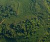
Specifically, we will be sharing the outcomes of our analysis into peatland development on large-scale multi-holder landscapes based on our practical experience in the field and research findings which moves our thinking forward. This analysis looks at scenarios for managed production and conservation, and includes a case study on the Kampar Peninsula landscape – an area characterized by an extensive peat dome and where 48% of the landscape is currently afforded some form of protection in the short to medium term. About twenty seven per cent of this landscape is used for our industrial plantations.
To recap, approximately 50 percent of APRIL Group’s 480,000-hectare plantation area resides on peatland, with the company conserving and restoring forest areas totaling 400,000 hectares, including the 130,000-hectares on the Kampar Peninsula as part of the peatland restoration project, Restorasi Ekosistem Riau.
The case study shows that across peatland there is considerable variation in subsidence linked to time and space, with the position on the landscape, topography, climate, peat-type, water table regime, land use and land management practices all playing a role. As such, the research informs us, a single rate for subsidence for the entire landscape is not applicable, though averages can provide an indicative result.
Similarly, this analysis offers a different view from those that offer less optimistic subsidence projections, suggesting that peat domes managed at the landscape level have the potential to result in better conservation benefits and reduced emissions compared to other development scenarios.
This insight will contribute to discussion around alternatives to prevailing scenarios at this week’s Congress.
It is also worth noting that APRIL Group’s approach to peatland hydrology has evolved and implemented on the ground over two decades, based on a series of detailed, localized assessments and water management approaches that vary in line with on-the-ground factors. One aspect of APRIL Group’s water management is to moderate flows – during wet and dry seasons — using what are termed ‘Buffer Zones’.
APRIL first adopted the Buffer Zone concept in 2007. The IUCN defines Buffer Zones as areas where “restrictions are placed on resource use or special development measures are undertaken to enhance the conservation value of the adjacent protected area.” APRIL Group’s working model was designed and implemented to reduce impact on core natural peat forest reserve areas.
The design and implementation of this framework is largely based on advice and outcomes from a Science Based Management Support Project (SBMSP: 2006 – 2010) delivered by a consortium of international specialists headed by Deltares, as well as more specific recommendations made by Tropenbos’ (2010) Kampar High Conservation Forest Assessment Report, which was based on SBMSP findings elsewhere in the area.
APRIL Group’s definition of a peatland hydrology buffer was defined as an area with no intentional drainage, designed to buffer upslope conservation areas from drainage impact from plantations. Further, the hydro-buffer must hold the ground water in conservation areas at 50cm higher than in the adjacent plantation.
APRIL Group voluntarily implemented a range of buffer zone planning options based on SBMSP findings and assessments, putting in place a flexible management framework in line with established conventions. The final design is a combination of topographical and operational considerations aligned to its definition of a hydro-buffer. Today, we continue to expand and fine-tune based on recommendations and extensive monitoring, adjustment and reporting systems.
Since their implementation, monitoring shows that the buffer zones have been effective in reducing impact on important natural peat forest reserve areas due to persistently high water tables.
A key point here is that one size does not fit all. Water strategies and plantation buffers as well as conservation zones alongside industrial plantation are uniquely designed in consideration of the landscape with input from expert scientific sources, including High Conservation Value assessments.
This is important work in progress, and something that can greatly benefit from the discussions and debates at this week’s Congress. It will continue to be an important part of our work as we continue to apply research insight to calibrate models and scenarios to best inform the goal of responsible peatland development in complex multi-stakeholder landscapes.